-
 Ordnance Survey Explorer sheet 257 at 1:25,000 scale, covering Crewe, Nantwich, Whitchurch and Tattenhall. Detailed mapping for walks across southern Cheshire near the Sandstone Trail.
-
 Ordnance Survey Explorer sheet 267 at 1:25,000 scale, covering Northwich, Delamere Forest, Winsford and Middlewich. Detailed mapping for walking the mid-Cheshire countryside and the Sandstone Trail.
-
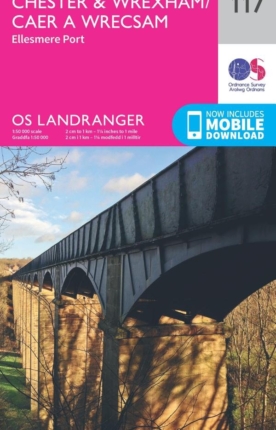
Ordnance Survey Landranger sheet 117 at 1:50,000 scale, covering Chester, Wrexham and Ellesmere Port. Ideal for planning walks, rides and days out around the northern end of the Sandstone Trail.